


The Mediterranean Sea is unique and under threat – let’s protect it!
For generations, the Mediterranean has been one of our favorite vacation destinations. But did you know that our Mediterranean is a global hotspot for biodiversity? And that, despite being one of the most heavily used and threatened marine ecosystems in the world, there are still very few protected areas there?
This is where the work of KYMA sea conservation & research comes in. We are working to ensure that a biologically important area in southern Italy is placed under protection.
An Unknown Hotspot of Biodiversity
Most people know the Mediterranean primarily as a popular vacation destination. This makes it all the more surprising to many that whales also live in this marginal sea of the Atlantic. In fact, the Mediterranean is home to three species of whales, seven different species of dolphins, and one species of porpoise. A total of around 17,000 animal and plant species have been documented in this intercontinental sea. This represents 18% of the world’s marine flora and 7.5% of the world’s marine fauna, of which, in turn, a very high proportion (20–30%) is found only in the Mediterranean Sea. This represents an extraordinarily high level of biodiversity, considering that the Mediterranean accounts for just 0.8% of the world’s ocean surface area and 0.3% of the world’s ocean volume.
A threatened hotspot
Only 6% of the Mediterranean Sea is protected – and only 0.23% is effectively managed. Yet the Mediterranean’s unique biodiversity is under threat like almost nowhere else:
Overfishing
More than half of commercially exploited stocks are considered severely overfished (FAO, 2023). All cetacean species found in the Mediterranean are listed on the IUCN Red List. Although the situation has improved slightly over the past ten years, the stocks still need time and protection to recover.
Pollution
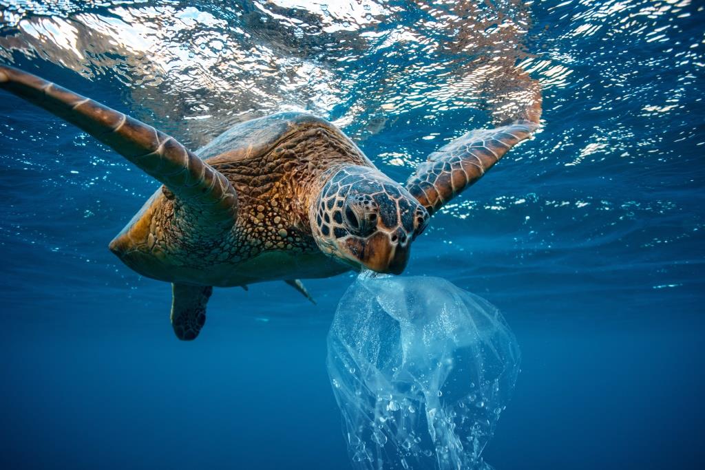
Due to its enclosed location and the dense population surrounding it, the Mediterranean Sea acts as a dumping ground for waste. The concentration of plastic in the water reaches levels normally found only in the large oceanic garbage patches of the Atlantic and Pacific.
Underwater Noise
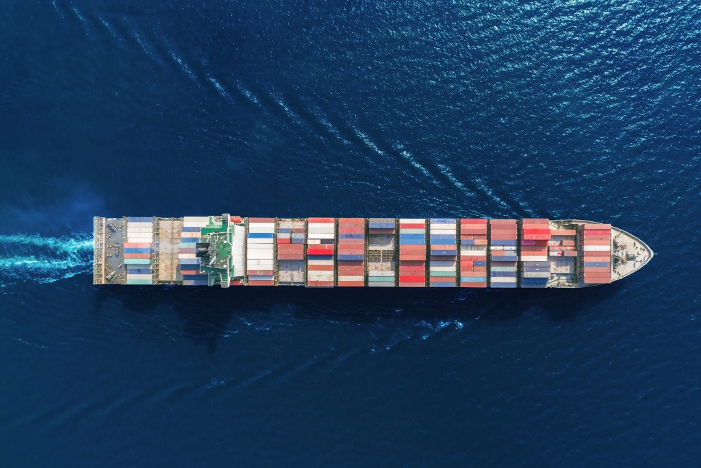
As a key trade route between the Atlantic and the Indian Oceans, 30% of global freight traffic and 20% of global oil shipments pass through the Mediterranean Sea each year. The resulting underwater noise disrupts the orientation of marine animals—leading to consequences such as whale strandings, ship collisions, and disrupted communication and mate-finding.
What is often overlooked is that the condition of the Mediterranean Sea has a direct impact on the quality of life in Europe. It affects the climate and water balance both south and north of the Alps, as well as food systems and tourism.
How We’re Fighting Back
Effective marine conservation requires a solid scientific foundation – but for many key regions in the Mediterranean, this foundation is still lacking. This is exactly where KYMA comes in.
Through our research expeditions in the central Mediterranean, we are filling these data gaps. The findings from these expeditions form the basis for having the area off the east coast of Sicily designated as an IMMA (Important Marine Mammal Area) – an internationally recognized status granted by the IUCN. It is the first step toward placing the area under effective national protection in collaboration with partner organizations and government agencies.
The Target Protected Area
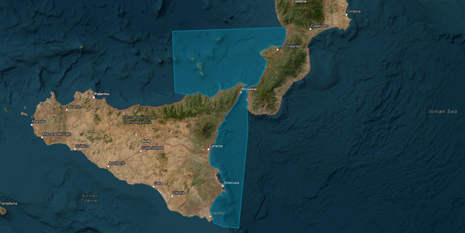
KYMA focuses on an area that, on the one hand, exhibits high biodiversity yet receives little protection, and on the other hand, has been little studied but is also heavily utilized: the area around the Strait of Messina in the central Mediterranean.
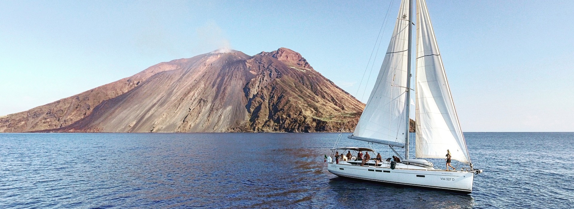
The research area extends from the Tyrrhenian Sea, including the northeastern coast of Sicily, the volcanic Aeolian Islands, and the northern coast of Calabria, through the Strait of Messina into the Ionian Sea, along the entire eastern coast of Sicily as far south as Syracuse.
Research Expeditions
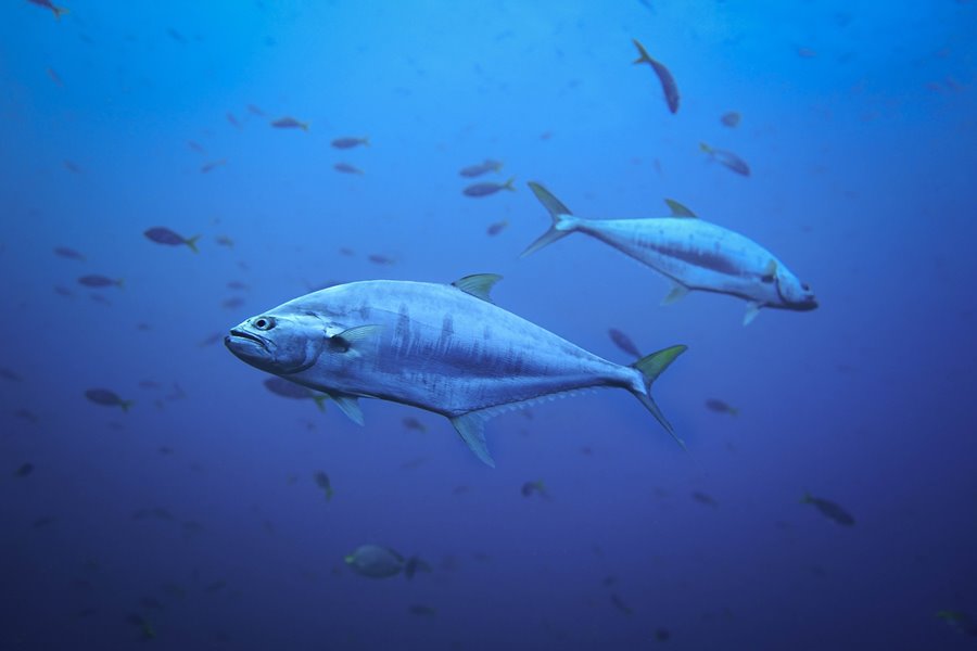
We focus on the distribution and population sizes of large species such as cetaceans, sea turtles, and large fish species. These species are at the top of the food chain and depend on a healthy, functioning ecosystem. If an area is heavily used by these species, this is a strong indication that it is also of great importance to the entire marine ecosystem – and thus to numerous other species. That is why these so-called indicator species are particularly well-suited for research.
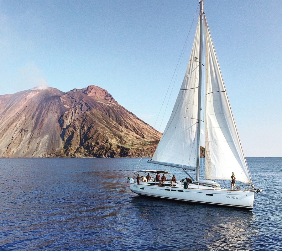
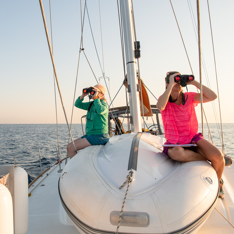
From spring through fall, we conduct several expeditions aboard a sailing ship. Led by experienced marine biologists and skippers, the team, consisting of 6–7 volunteers (citizen scientists) who rotate weekly, uses the following methods:
Citizen Scientists
Volunteers in a research project who do not necessarily need to have a scientific background. Our marine biologists train and mentor them and ensure the quality of the data collected.
Would you like to participate as a citizen scientist in our research project?
The cornerstone of our research at sea is the counting of whales, dolphins, and other large marine animals. To do this, we use the line transect – the globally recognized standard method in whale research.
Our ship follows predetermined routes along which all sightings are systematically recorded. This data is used to create distribution maps for each species, by year and month, which can be correlated with factors such as ship traffic. If there are enough sightings, it is also possible to estimate how many animals of a given species live in the area.
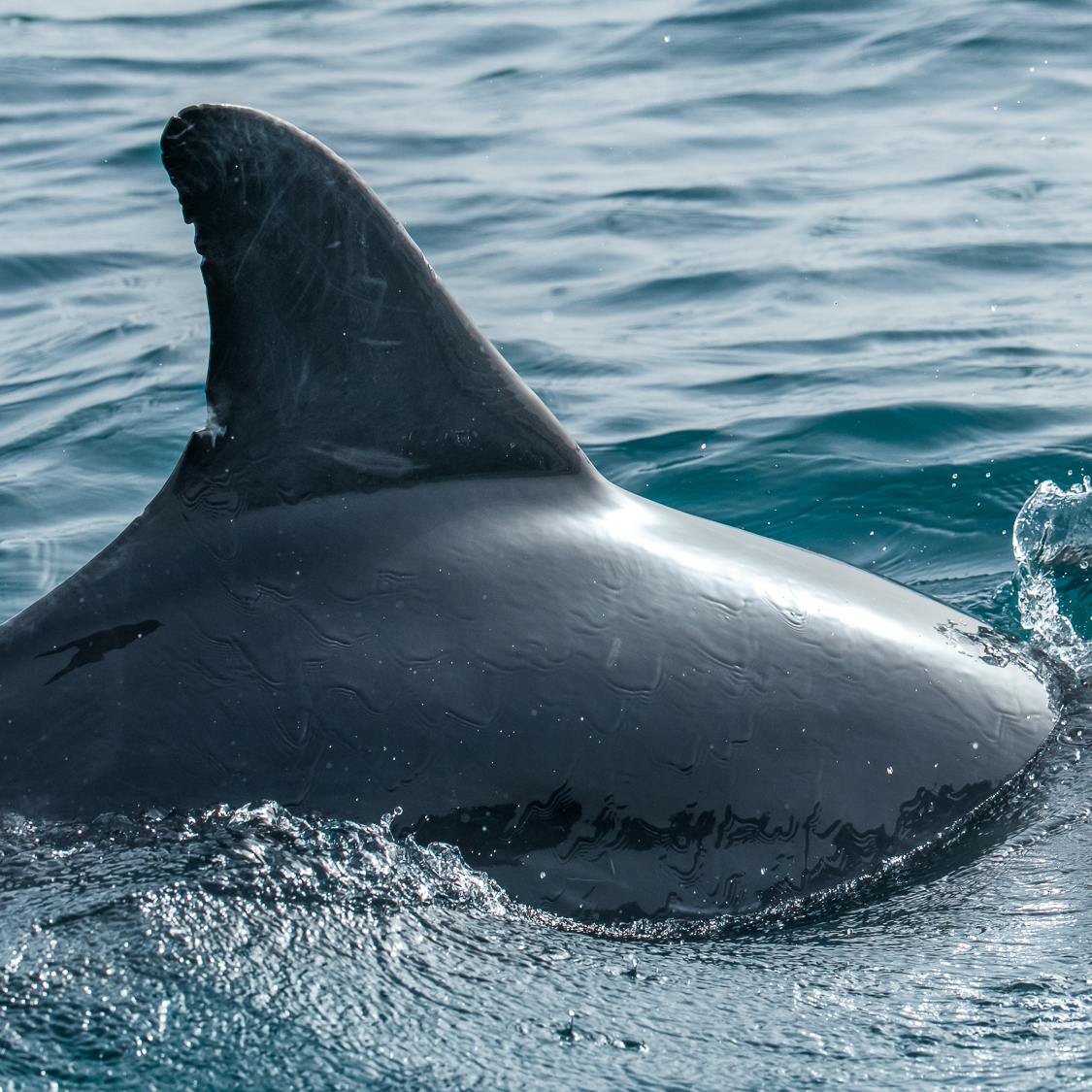
In addition, every sighting is documented with photographs. This so-called photo-identification – based on unique characteristics such as the tail, dorsal fin, or scars – makes it possible to recognize individual animals and thus learn more about population size, social structures, reproduction, and migration patterns.
To ensure we can also detect species that spend long periods underwater, we always combine our transect surveys with an underwater microphone that records species-specific whale calls. This gives us a comprehensive picture of all the cetaceans present in the area.
A comparison across several years shows how important the area is in the long term for the respective species and, consequently, for marine biodiversity – always in the context of the environmental conditions that influence the animals’ behavior and distribution.
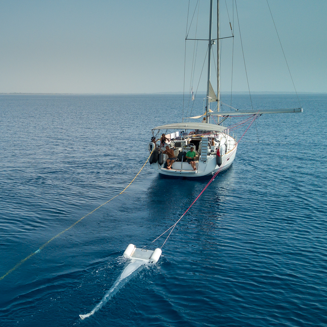
Plastic waste poses a threat to cetaceans and numerous other marine species. That is why, in our research area, we are also studying plastic pollution and its trends over time in two ways: Using the so-called Manta Trawl, a special net, we collect 1–2 microplastic samples per week, weather permitting, which are then analyzed in the lab by our partner, Oceaneye. In addition, during our transect cruises, we conduct random counts of macroplastics floating on the surface. In addition, during our transect cruises, we conduct random counts of macroplastic floating on the surface. In this way, we contribute to characterizing plastic pollution in the area.
A milestone is within reach
Our data collected over several years clearly show that this research area is heavily used in the summer by nine species of whales and dolphins, most of which are considered endangered – an important first step toward establishing a protected area. Until now, the Important Marine Mammal Areas (IMMA) initiative lacked the data needed to officially designate this area. Our work is now closing precisely this gap.
We will submit our research findings to date for the reassessment of the IMMA in the Mediterranean, which will take place in 2027. There is a good chance that this will lead to the designation of a new IMMA in our research area. This is a milestone toward which we have been working directly through our many years of research, and a crucial step for the protection of the central Mediterranean.
Being designated as an IMMA is not the end goal, but rather a key milestone. This status carries weight: The IMMA committee is composed of internationally renowned scientists, and as a result, the initiative is recognized and respected by government agencies – a strong foundation for dialogue with government bodies.
Our data, presented graphically in the international and public OBIS Seamap database